 Anyone who has ever tried backpacking knows that it comes with many challenges. Trekking through the woods with a heavy backpack is a major trial of physical fitness and stamina. It is also a test of character: ability to keep going even if your backpack seems to be getting heavier with every step, readiness to pitch in with campsite chores even when you’d rather collapse in your tent after a long day on the trail, willingness to adjust your expectations, remain patient and find ways to enjoy the experience through every rugged turn of the trail, pouring rain, relentless mosquitoes and occasional complaints from the youngest members of the group.
Backpacking also comes with major rewards: the sense of pride and accomplishment, growing confidence and strength, but mostly the feeling of being present and connected to yourself and the world around. After spending so much time in the virtual world of Google searches and Facebook updates, fretting about the future and worrying about the past, hiking grounds you both literally and figuratively. There is something extremely satisfying in using your own body to transport yourself over long distances, knowing that everything you need can fit into a backpack on your back, realizing that all that exists at the moment is the climb right ahead of you, connecting with the ground under your feet every step of the way. And at the end of the day, as you take inventory of your aching body parts, discovering muscles you never knew existed, you gain deeper appreciation for your body and what it can do.
Those were some of my thoughts as we were nearing the end of our three day backpacking trip at Algonquin Provincial Park.
We first tried backpacking last year at Bon Echo Provincial Park (read about hiking the Abes and Essens Trail here). In spite of a sprained ankle, the trip was a great success so this year we were looking for a more challenging experience. We decided to try the Western Uplands Backpacking Trail at Algonquin. The trail has three loops – 32, 55 and 88 kilometres in length. We settled on Loop 1 breaking it into three days with stops at Maggie and Ramona Lakes.

Day 1: Trailhead to Maggie Lake – 12.5 km
After spending the night at Tea Lake Campground, we did another inventory of our gear and supplies, readjusted our backpacks, picked up our permit at the West Gate and arrived at the Western Uplands Backpacking Trailhead/Oxtongue River Picnic Ground shortly after 11.
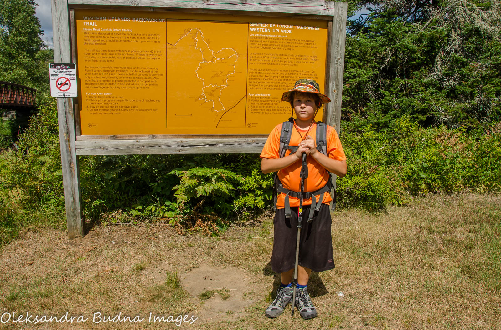
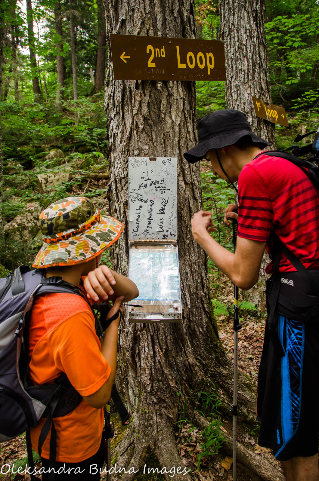
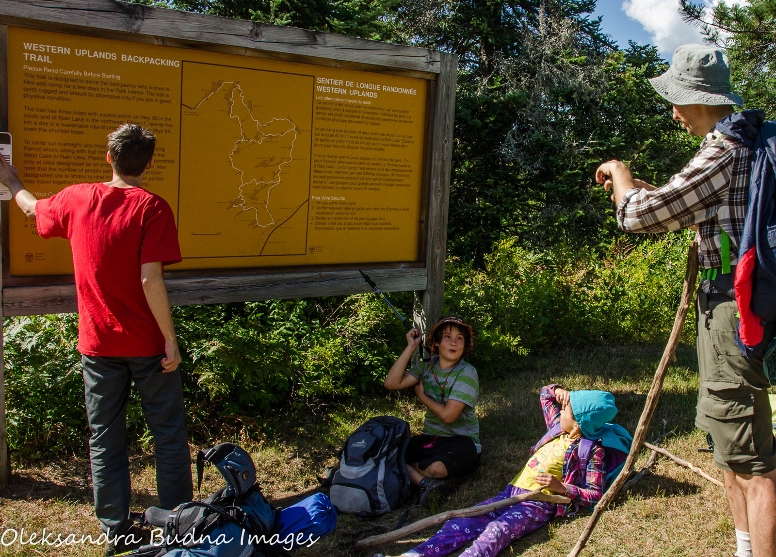
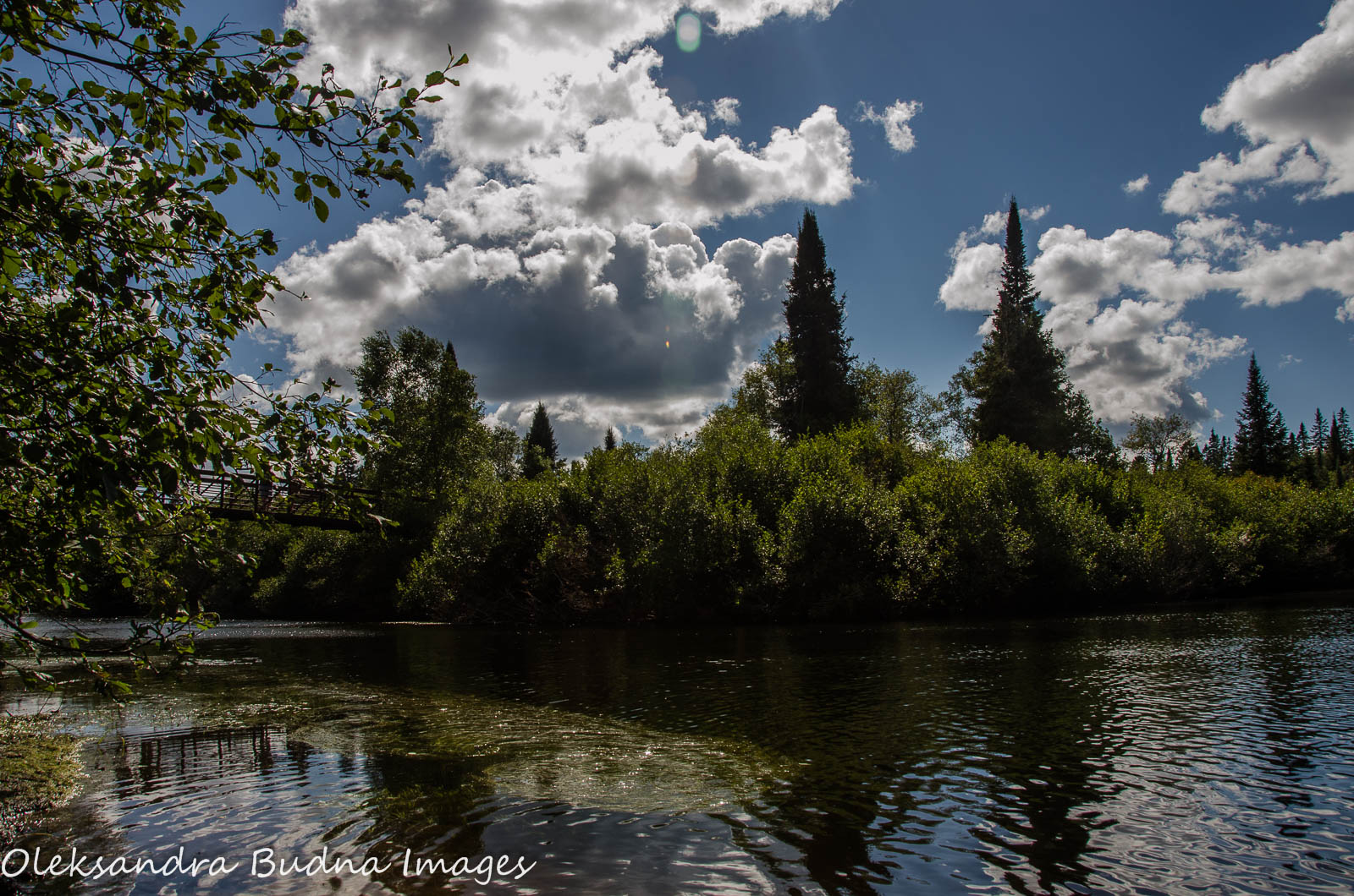
The map at the trailhead was nothing but an abstract squiggle at that point. We studied the wiggly line trying to imagine the route we had to cover in the next three days. At 11:35, we crossed the bridge over Oxtongue River, and the adventure began.


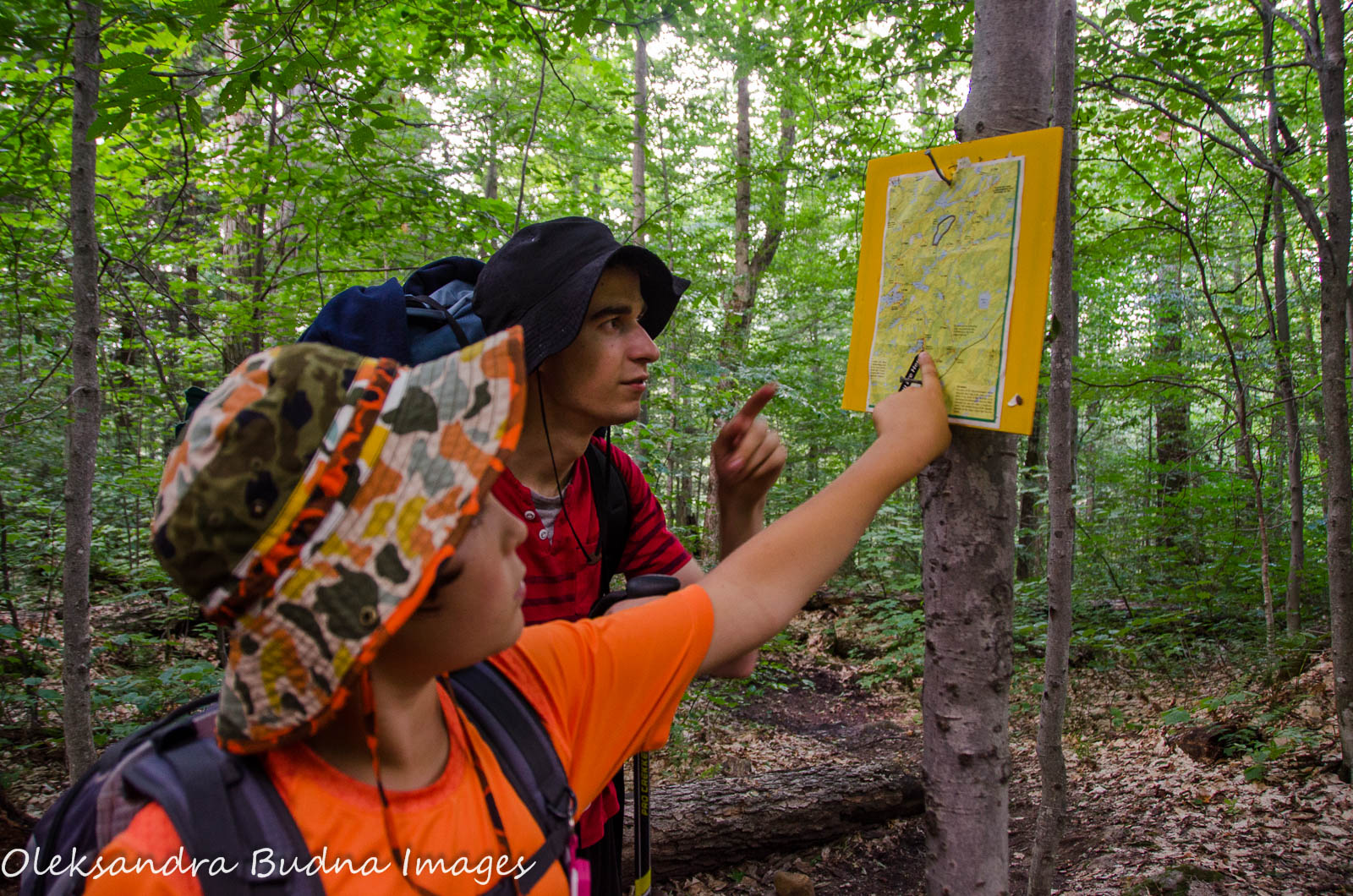
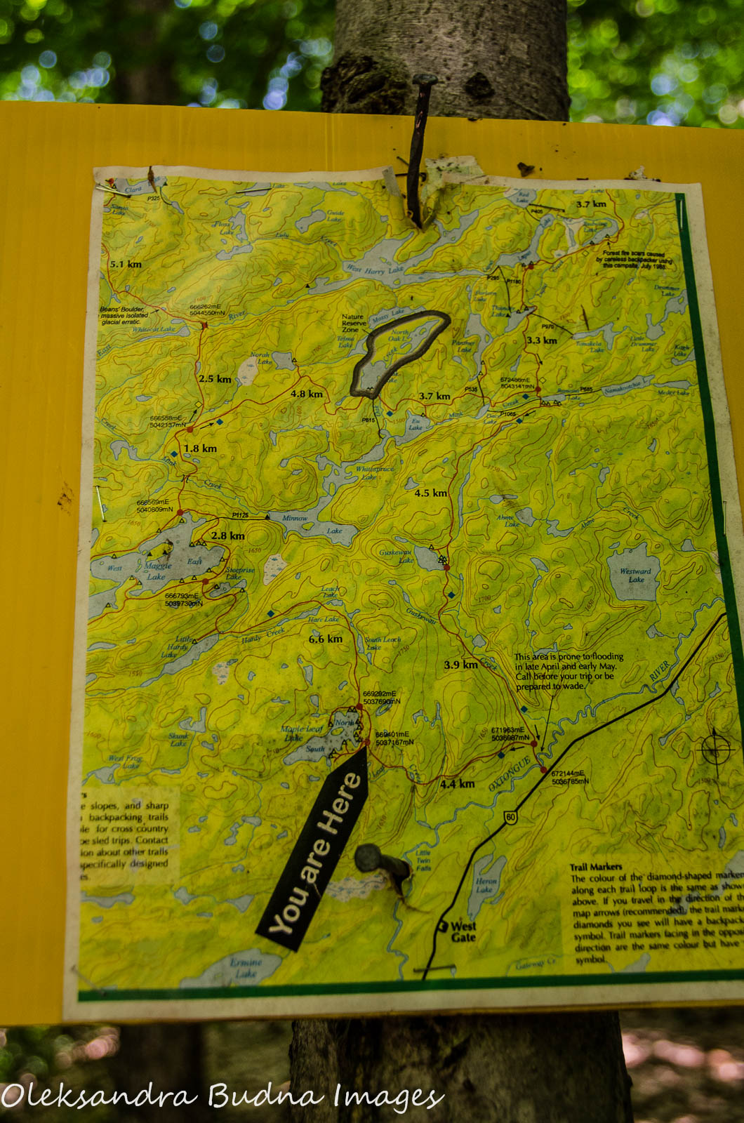
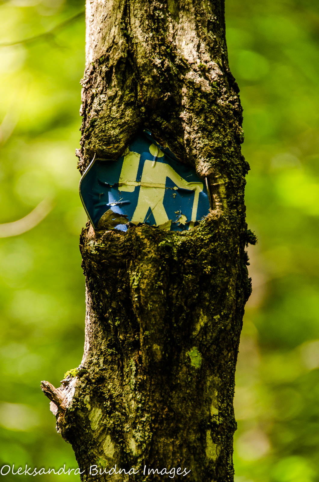
Our first major stop was at Maple Leaf Lake about two and a half hours later. There was a very helpful map at the intersection of the main and side trails, one of the many posted along the route. The two closest sites were occupied but the people on the first site allowed us to use their little beach where we had our lunch and replenished our water supplies.


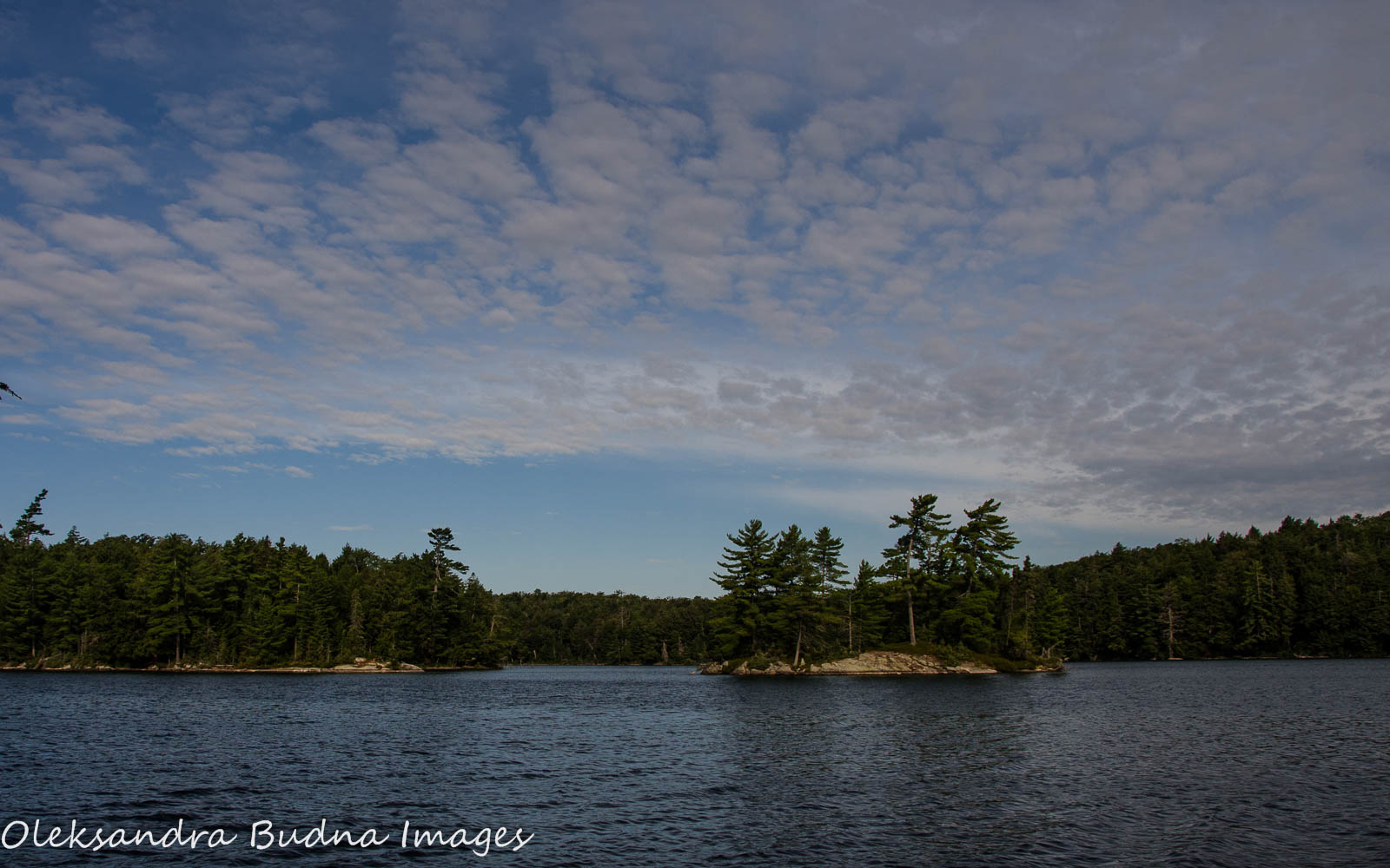
The rest of the trek on that first day was uneventful with an occasional drizzle. We made frequent stops to rest, get some snacks and enjoy the beautiful lakes and tranquil forest.

We hit the split between Maggie West and Maggie East shortly after 6. My original intent was to camp on the western side of the lake. However, when booking a site over the phone, I mixed up my East and West and we ended up on Maggie East. After a long day of hiking, everyone was happy about my mistake because Maggie West required a detour and would have added a considerable number of kilometres to the route.
The first campsite on Maggie East was free and it was easy to see why: there was no good space for even one tent, no good access to the lake, and the thunderbox was in plain view of the main trail, which would mean greeting every passer-by while doing our business. A few members of our group were insisting that the site was perfect because the alternative was to keep going. My husband and I decided to check what lay ahead.
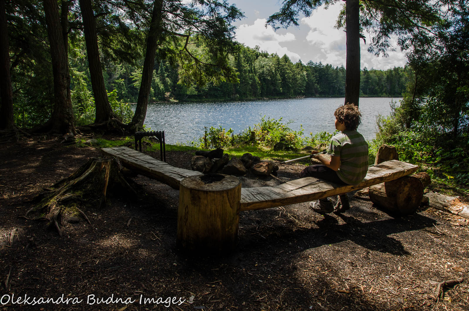
The next two sites looked great but both were already occupied. After about 25 minutes, we arrived at the last two sites on Maggie East. They were very close together and both were perfect with ample room for tents, easy access to water, and beautiful views all around. Most importantly, both were available. We chose the one on the west side to enjoy the fading light of the afternoon sun.
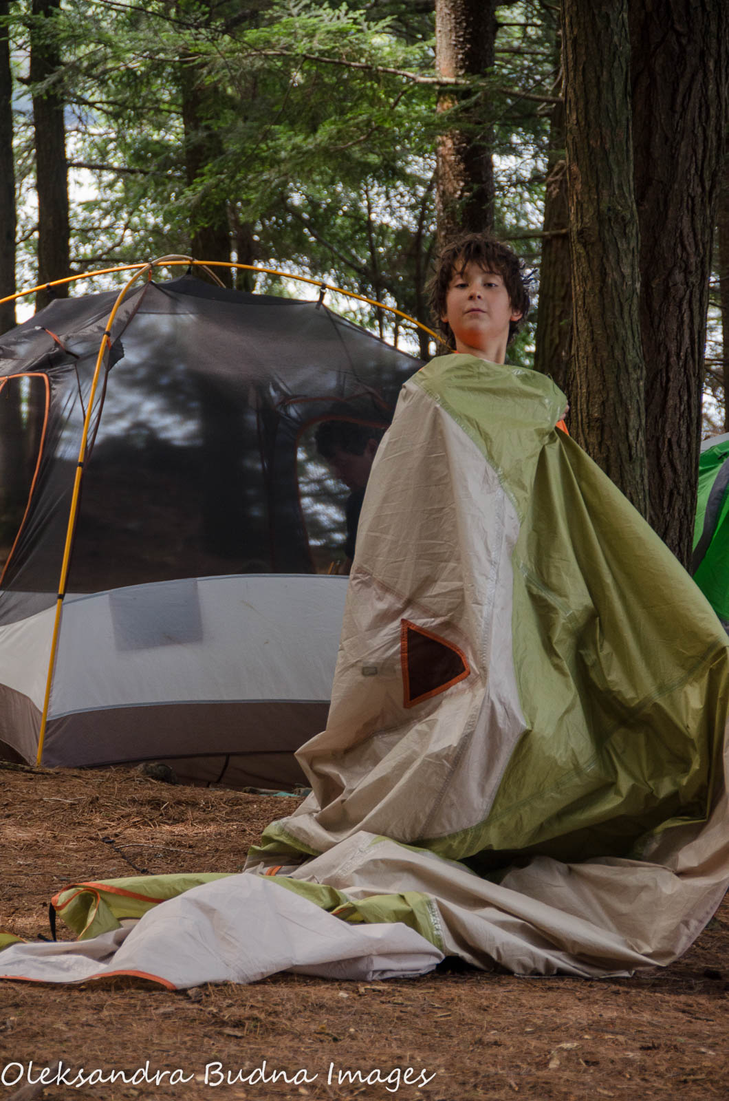
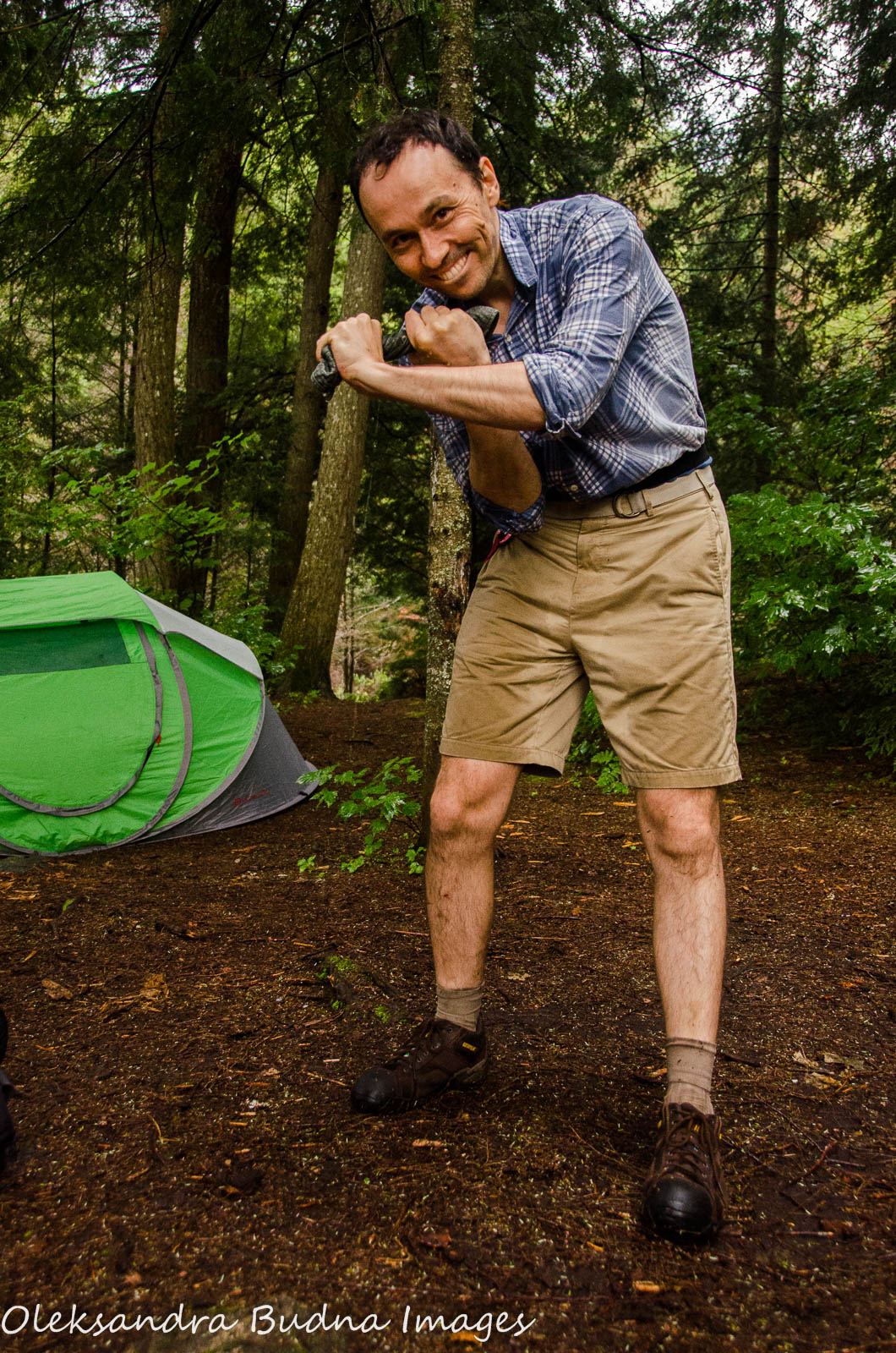
The rest of the evening was spent on campsite chores: setting up camp, collecting firewood, making dinner, and hanging up food.

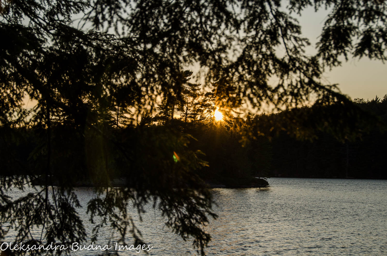
The night was warm, the sunset was beautiful. As we were going to bed, the moon inched its way into the sky illuminating the forest like a giant flashlight.

Day 2: Maggie Lake to Ramona Lake – 11.5 km
We woke up to a beautiful, sunny morning. In fact, it was so beautiful that we lingered not ready to leave this wonderful place. By the time we hit the trail, it was almost 1.


Choosing a campsite further down the road the night before helped us shave off about a kilometre and a half from the distance we had to cover on Day 2. What we couldn’t foresee, though, was a more challenging terrain with more frequent and much steeper climbs and a more challenging weather with pouring rain most of the day.


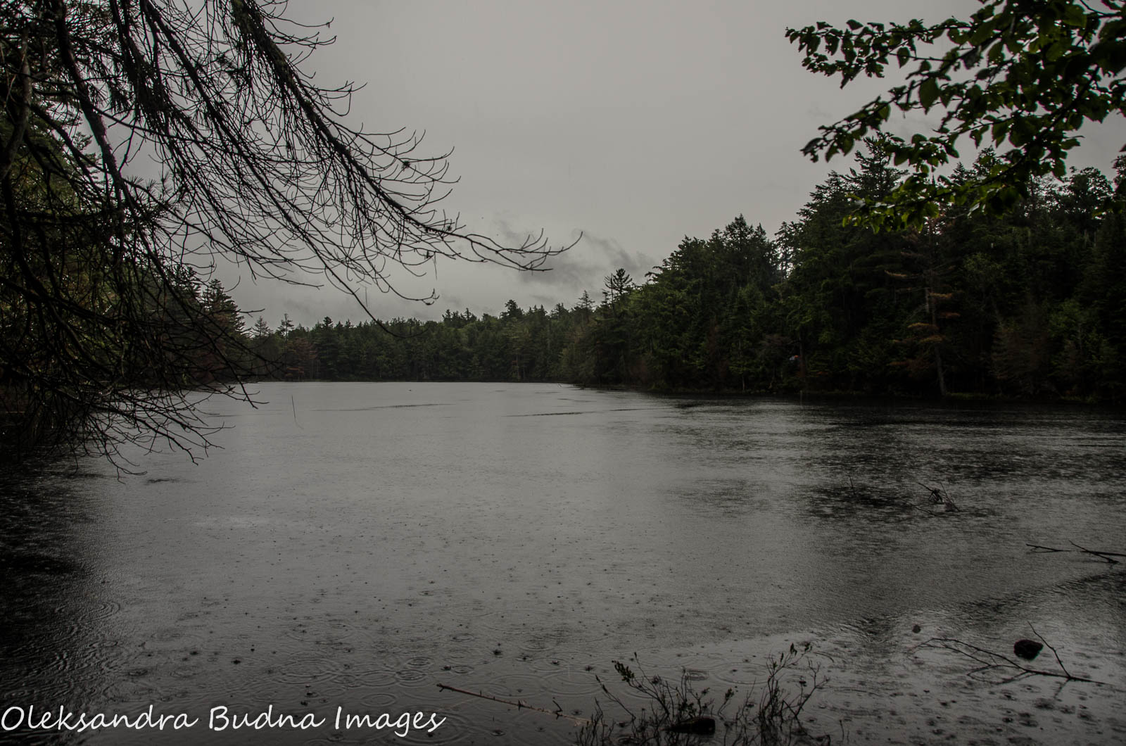
We arrived at Ramona close to 7:30, soaked through but surprisingly upbeat and happy (well, most of us). We were looking forward to dry clothes, warmth of the campfire and a hot cup of soup.

There were four sites on Ramona Lake, all within a close walking distance, and only one of them was occupied. The last site of the four was the best. It had a bit of a slope but enough room for our three tents (could potentially fit even more) and a great view of the lake. Someone had left a kettle near the campfire, and the rope was already hung up between the trees for our wet clothes. Not that they got any drier by the time we left but definitely acquired a nice smoky smell.

By the time we arrived at the campsite, the rain was tapering off and we had good two hours to set up camp and make dinner before it started again.
The lake was ethereally beautiful with white vapour swirling above the surface.
We fell asleep to the rumblings of thunder and drumbeat of rain against our tents.

Day 3: Ramona Lake back to trailhead – 8 km
We woke up to the drip of water from the trees. The rain had stopped but throughout the morning the clouds would drift in and out of view eliciting debates about the weather ahead. In the end, the sky cleared up and it was a glorious sunny day with a rich smell of the post-rain forest.
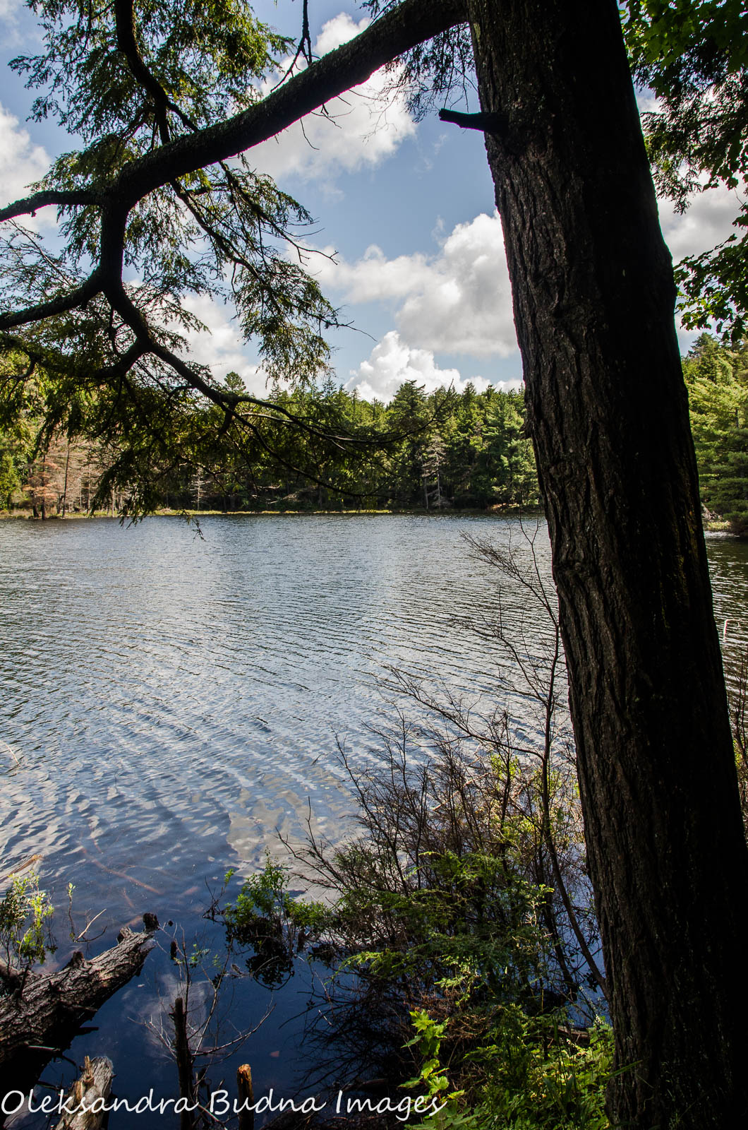

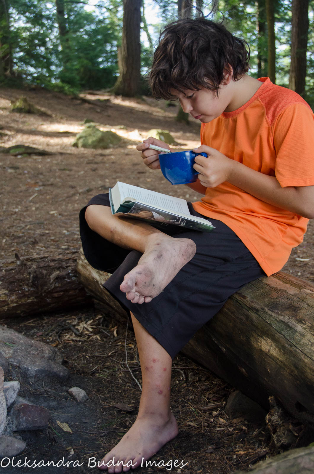
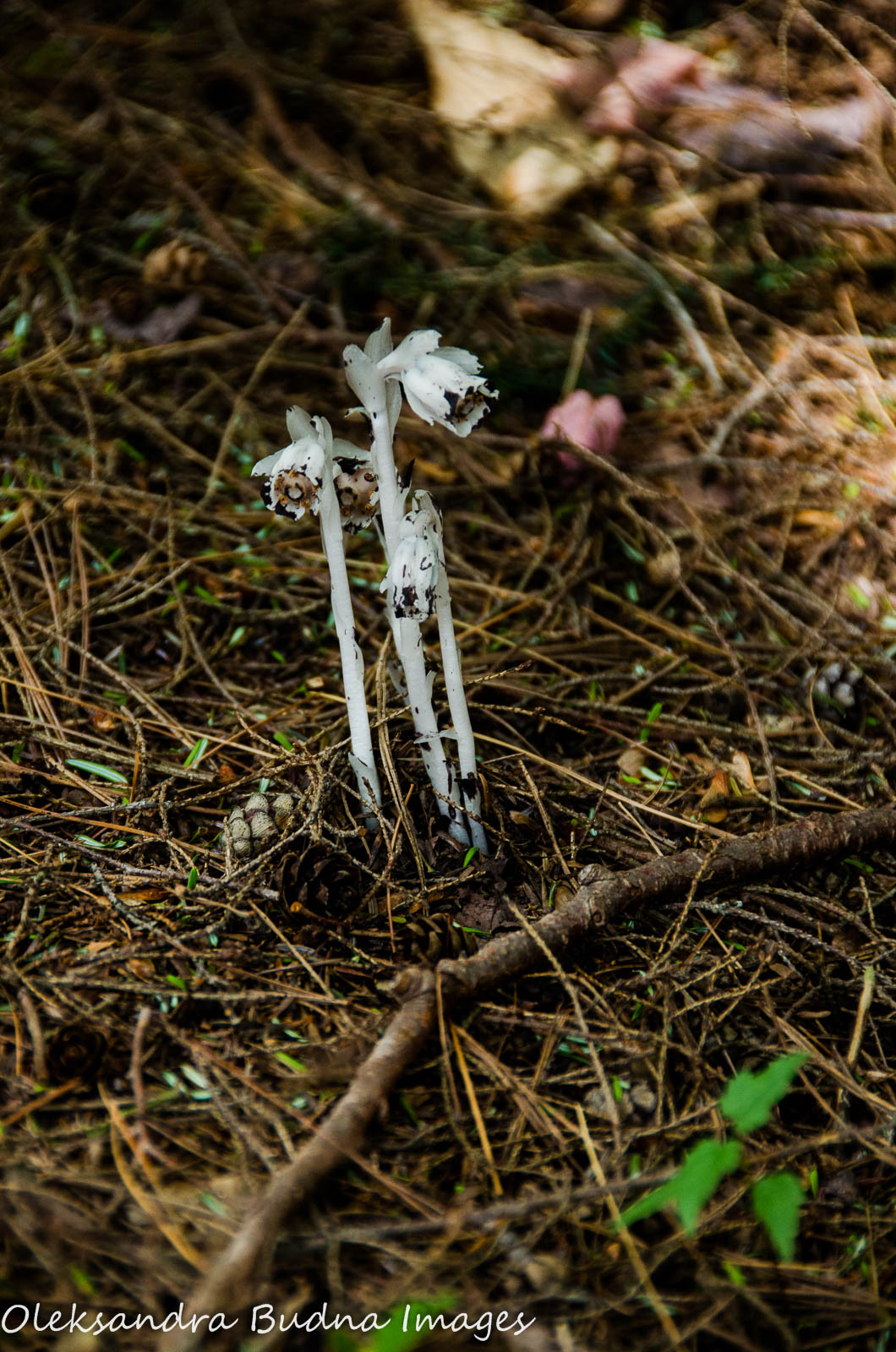
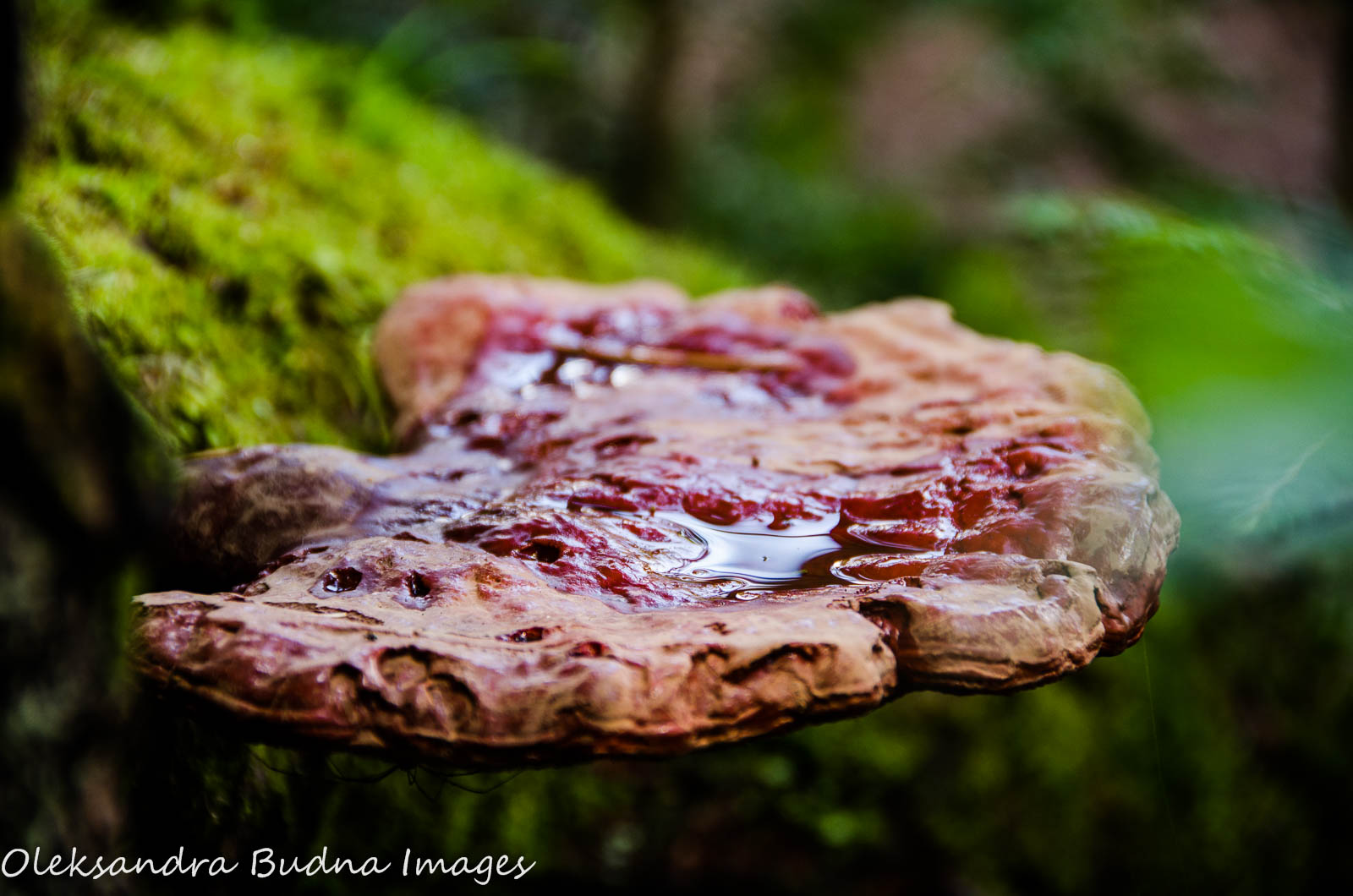
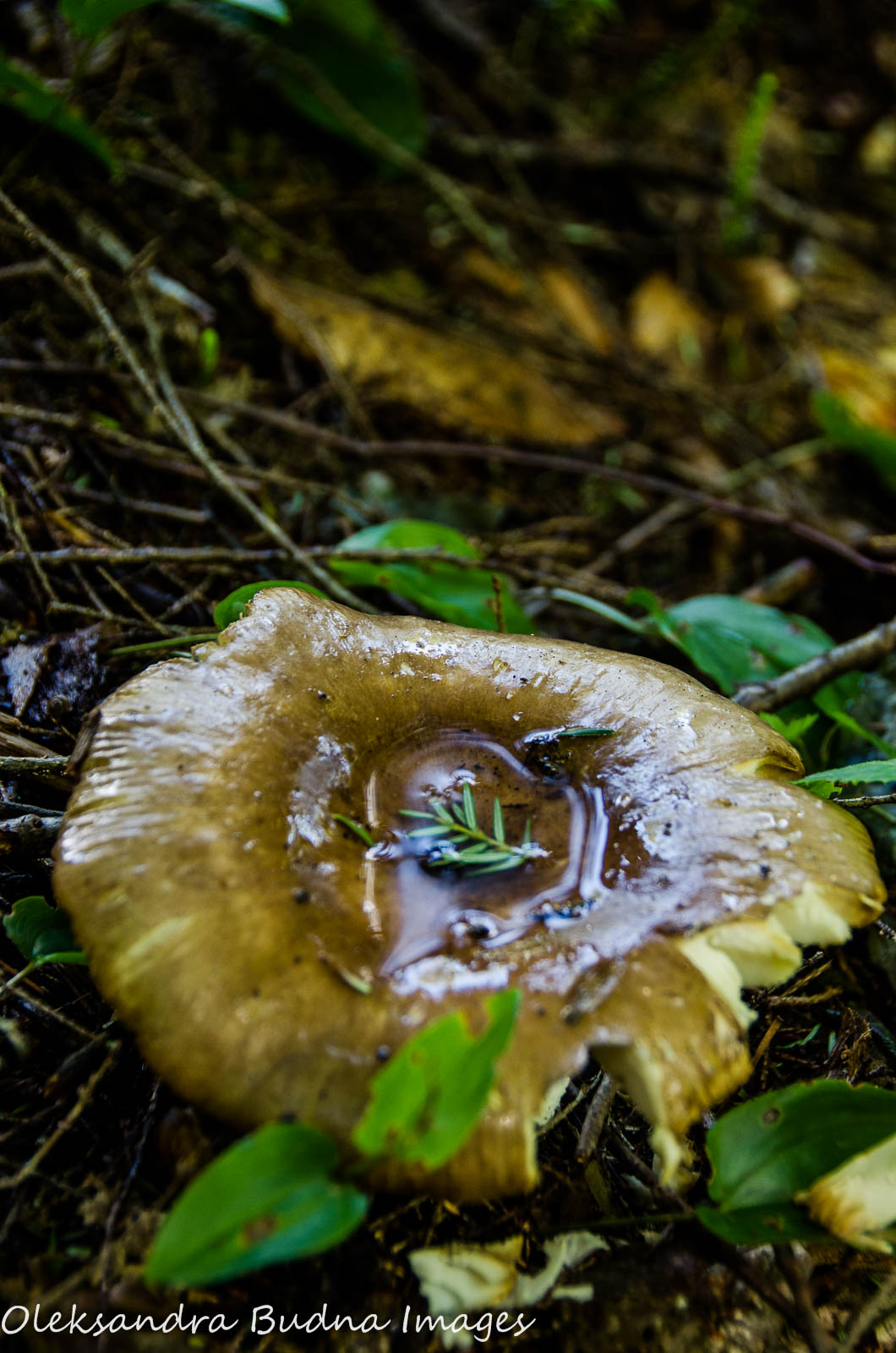
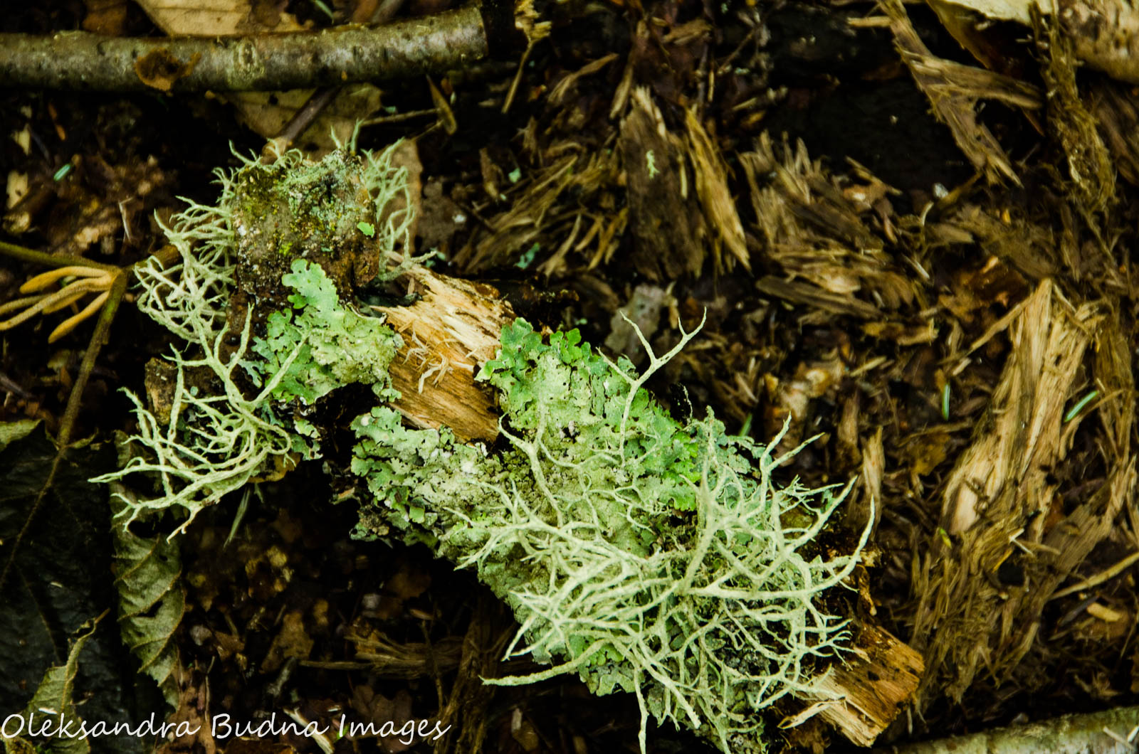
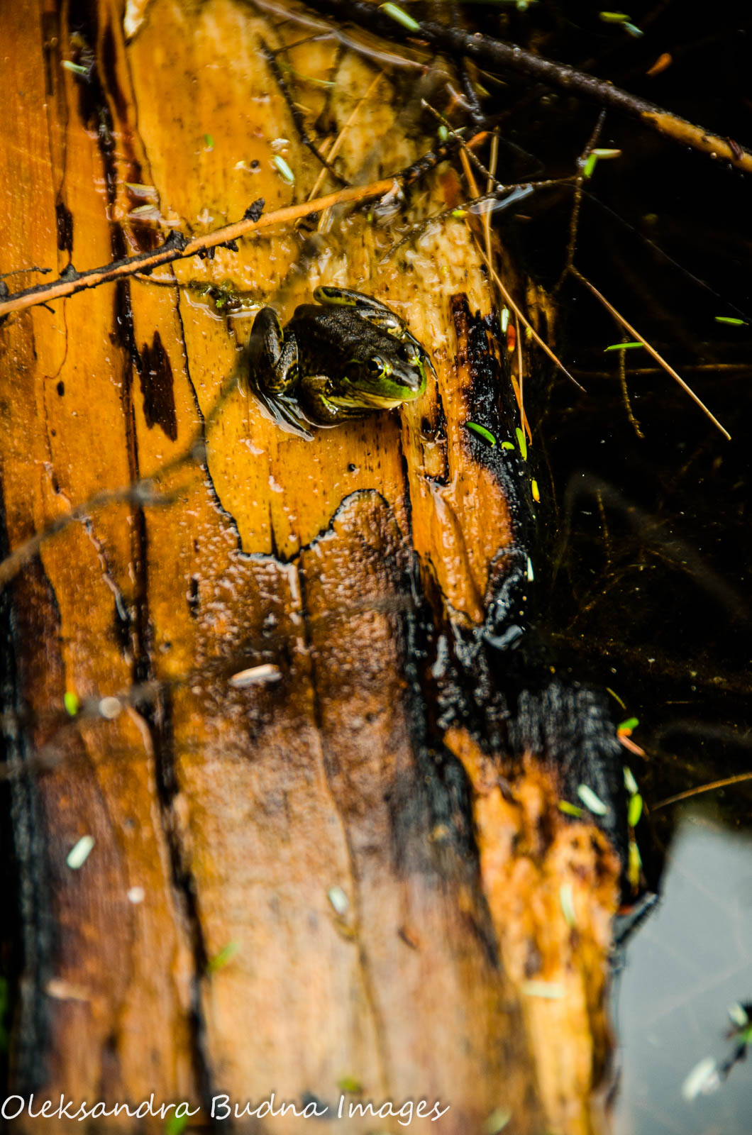
The hike on Day 3 was the shortest so we stopped to enjoy the radiant forest, sparkling streams and the little inhabitants of the magical woods.


We stopped to check out one of the campsites on Guskewau Lake and immediately fell in love with the place vowing to come back and spend a few days at this campsite.

As I was walking back feeling the extra weight of our wet clothes on my shoulders, I was torn between the desire to finish the trail and not wanting it to end at the same time.
We reached the bridge over Oxtongue River shortly after 4. The map at the trailhead hadn’t changed – same weird shapes and wiggly lines. Except a little part of it was not so abstract any more: it had our steps, frustrations and joys imprinted all over it.

I slipped the backpack off my shoulders, took off my boots and stuck my aching feet into the cooling waters of Oxtongue River. I felt sad about leaving this place but also happy and excited about adventures ahead.

Before heading back home, we stopped at Westside Fish and Chips in Huntsville for our traditional post-camping celebratory meal. The food was delicious, as always!

Another great post filled with beautiful nature images. Thank you. It is indeed a great feeling to transport yourself over long distances in a hike. There is a great sense of satisfaction. 🙂
LikeLiked by 1 person
Thanks, Jane! We love backpacking even though it can be challenging sometimes. But the feeling of joy and satisfaction at the end of the trail is worth all the sweat and pain. Hoping to go back one day to do the other two loops.
LikeLiked by 1 person
Another great trip report! I can imagine this trip was even more of a challenge than you expected with the rain. But you mention the smell of the forest after the rain…… it is a wonderful scent that just makes you want to breathe deeply. Mmmmmmm….. 🙂 We hiked to Guskewau in early July and stayed on that very site! Yes, it is beautiful.
LikeLiked by 1 person
Thanks, Gayle! The funny thing about rain during backpacking is that you worry about it before it happens. But when it starts you have no choice but to keep going and after a while you actually start enjoying it. At least it wasn’t hot 🙂 And that smell after the rain is worth getting wet for.
We loved that site on Guskewau Lake, one of the best backcountry sites we’ve ever come across. Definitely want to go back, maybe as part of Loop 2 or 3 or even on its own. I don’t think I’ve seen your trip report about camping there. Looking forward to reading it!
LikeLike
Pingback: The Best Camping Moments of 2015 | Gone Camping
Pingback: New Year’s Celebration in Killarney Provincial Park | Gone Camping
Wonderful trip report – I really liked how you summed up the overall backcountry experience in your first two paragraphs! Being January, I long to get back out on this trail again this hiking season as I’ve become somewhat addicted to it. I hope you do get the chance to do the other loops – some of my favourite sites are on the 2nd loop where more solitude is granted.
LikeLiked by 1 person
It was a great experience and we want to do the other two loops. And do more backpacking this year. It is such a perfect activity, simple and satisfying although quite often challenging. Any trail suggestions?
Thank you for stopping by! Happy Trails this year!
LikeLike
My favourite 2nd loop sites on the Western Uplands trail include Susan Lake (close to the Lookout), Clara Lake and South Pincher. Here’s one of my blog postings that may be of interest: http://wutpics.blogspot.ca. The Rain Lake access point (connecting to the 3rd loop) is a great place to start as well, and the first 8.5 k’s or so are fairly easy as they follow an old railroad bed. The only caveat is that the access road is typically impassible until late May.
As for other multi-day hikes, I also love Algonquin’s Highland backpacking trail – the northern lookout is not to be missed. Killarney is another favourite of ours, and I see that you are well acquainted with it as well. The northern part of the La Cloche Silhouette trail is amazing, although in spots very challenging to traverse. The Tobermory to Lion’s Head section of Bruce Trail is crazy-beautiful, with High Dump and Stormhaven sites offering a unique camping experience. We’re definitely lucky to have such wonderful opportunities in our backyard.
All the best in your excursions!
LikeLike
Pingback: Easter Weekend in Algonquin | Gone Camping
Pingback: It’s not all fun and games: Our worst camping moments | Gone Camping
Great post and what an amazing hike.Great photos,thanks for sharing
LikeLike
I’m going to be backpacking this route this summer–I’m so excited. I put us on Little Hardy night 1 (which I hear is a great site), and Oak Lake night 2 (which I’ve heard isn’t as great, but oh well). Backpacking in Algonquin has been on my bucket list for many years.
LikeLiked by 1 person
That sounds exciting! Hope you get better weather than we did. But then again regardless of the weather or the quality of the site, backpacking is still fun and rewarding, even if hard sometimes.
LikeLiked by 1 person
Wonderful photo’s of nature and backpacking
LikeLike
Just an FYI some friends and I copied your itinerary this past weekend. We had a great time. Thank you for putting this up as it made planning our trip very easy 🙂
LikeLiked by 1 person
Great to hear! Thank you for letting me know and thank you for visiting my blog. I am glad it was helpful.
LikeLike
Lovved reading this thank you
LikeLiked by 1 person