I am way behind on my trip reports. There is a bunch of photos still sitting on my memory card that I haven’t had time to download onto the computer, let alone process and write about. But, I guess, it’s a good problem to have: I’d rather have too many trips to write about than not enough.
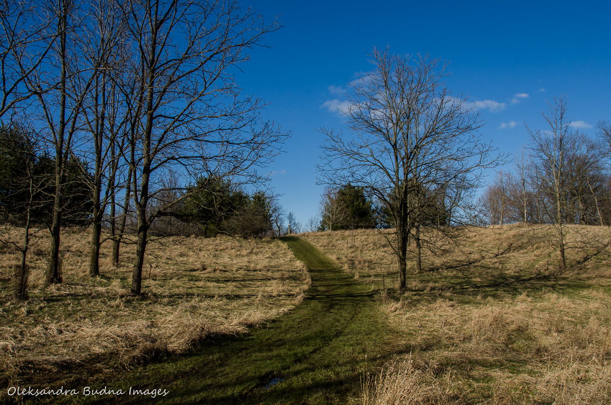
Our most recent microadventures took us to Dundas Valley Conservation Area. This 1,200 ha park is part of the Hamilton Conservation Authority and is less than an hour away from Toronto. In the past three weeks we’ve been to the park twice, and it wasn’t our last trip there. The park is pretty big, though, so there is a lot to do and keep us busy for many visits to come.

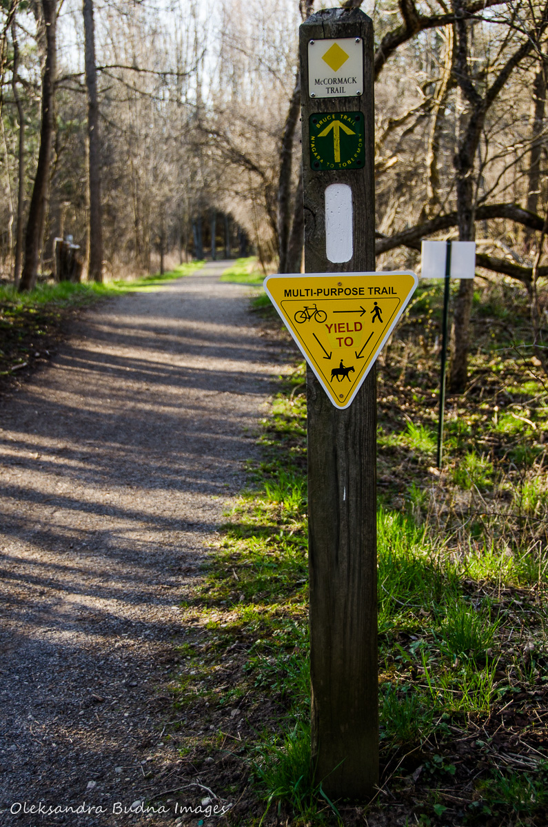
Dundas Valley has a trail centre, historical landmarks, waterfalls, a teaching garden, and over 40 km of trails, including parts of the famous Bruce Trail and Hamilton to Brantford Rail Trail. Most of the trails are multi-use, and we came across many cyclists, joggers, dog walkers, horseback riders, hikers and even one guy on a monocycle. (Entrance is free if you walk in or bike in. There is a $10 charge per car, and $15 if you arrive on a horse).


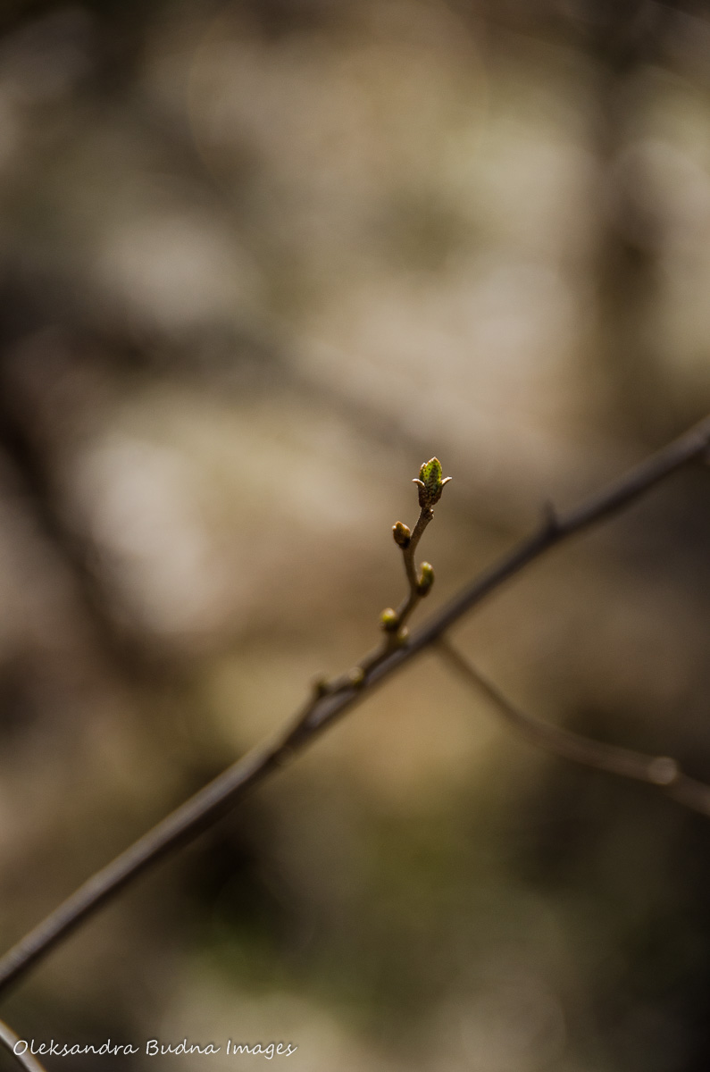
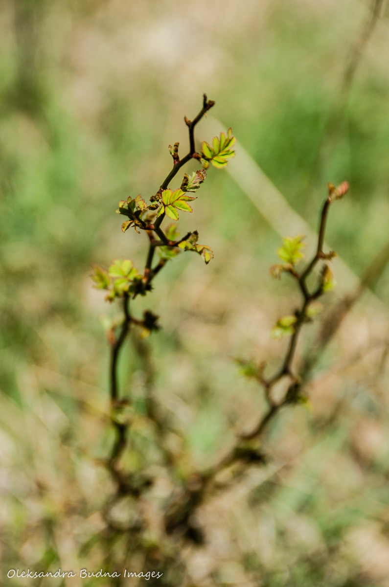
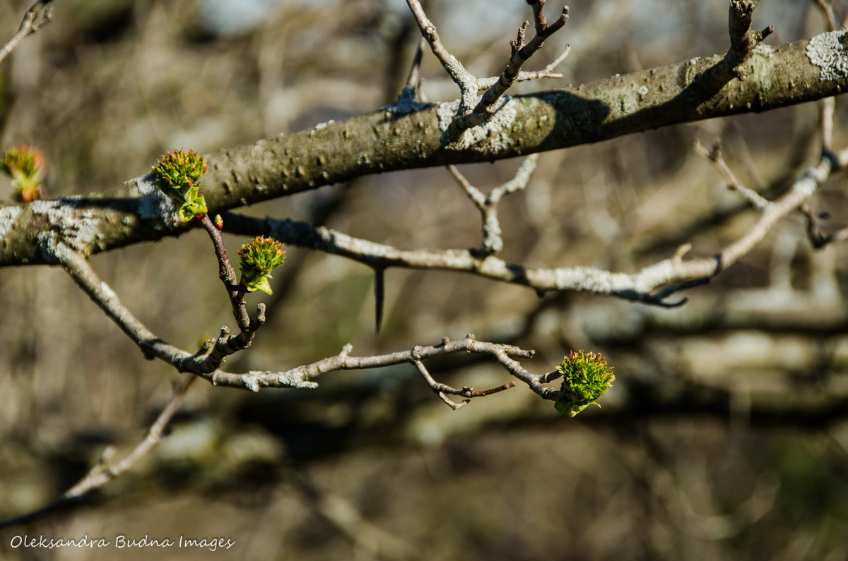
Our visits were two weeks apart, but two weeks can mean a big difference in the spring, especially with the whimsical weather we’ve been having this year. You’ll see in the pictures that we went from winter jackets to t-shirts. Trail conditions also improved considerably, and there was less mud to bring back home. Plus the spring worked its magic and added more colour to the landscape.


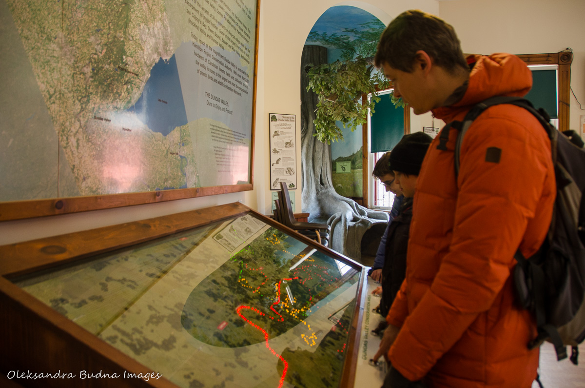
We started our first visit at the trail centre, which also houses the Giant’s Rib Discovery Centre. Giant’s Rib refers to the Niagara Escarpment, of course. There is a big map of the Escarpment calling it the Great Wall of Southern Ontario. As you can see, the Niagara Escarpment lends itself to lots of great metaphors (at another park it was referred to as a giant wrinkle), which is not surprising as it is an impressive geological feature.
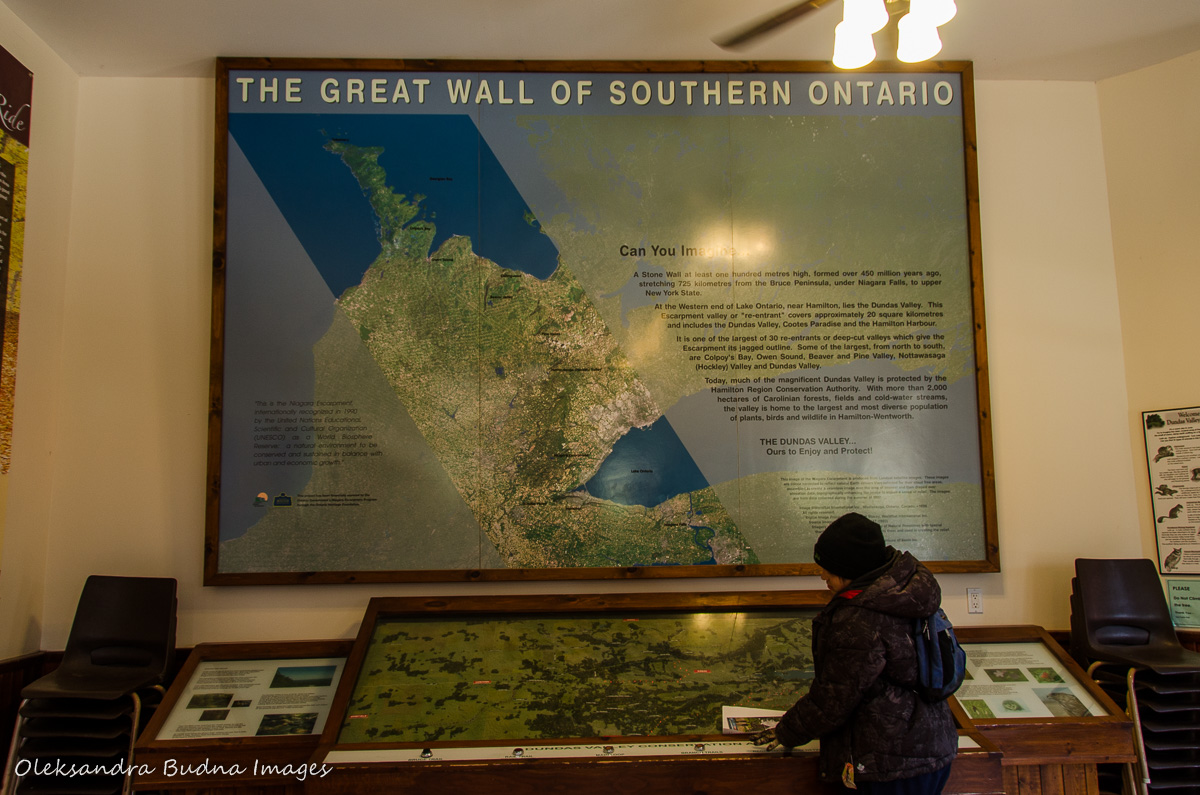
We also found an interactive trail map and very friendly staff and volunteers ready to answer any questions.
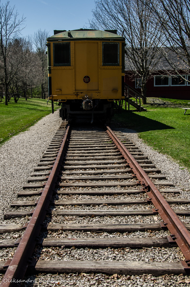
The trail centre itself is a replica of a Victorian train station that used to be part of the Toronto-Hamilton-Buffalo railway system. There are tracks still remaining in front of the trail centre with a couple of train cars. Part of the railway has been converted into a 32-kilometre multi-use trail that stretches from Hamilton to Brantford and is now used by cyclists, joggers and walkers.


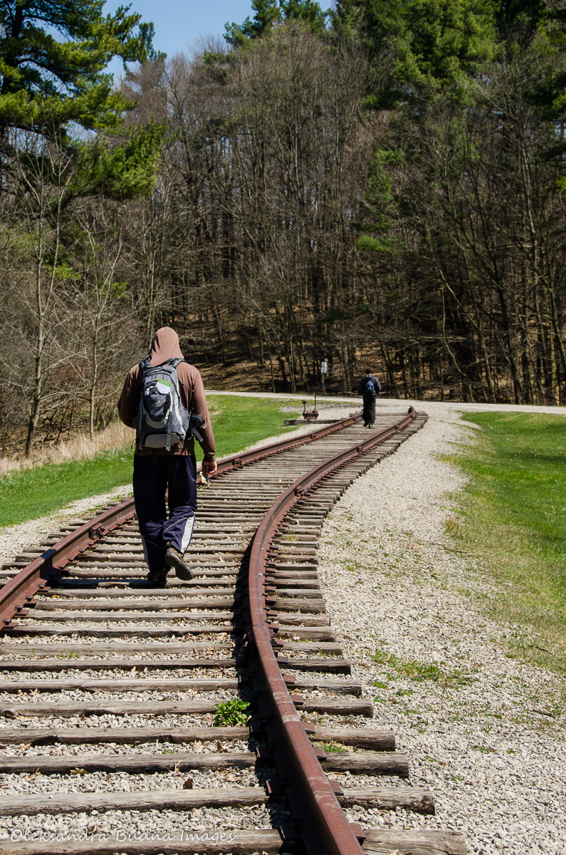
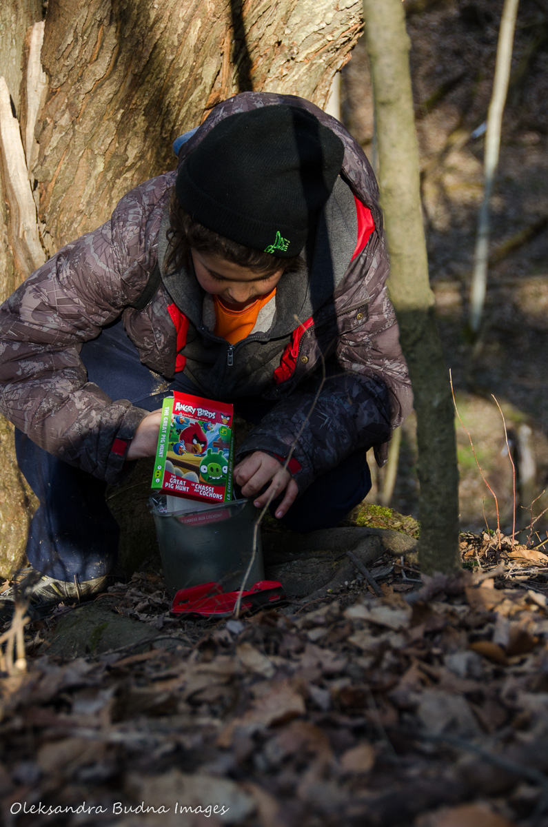
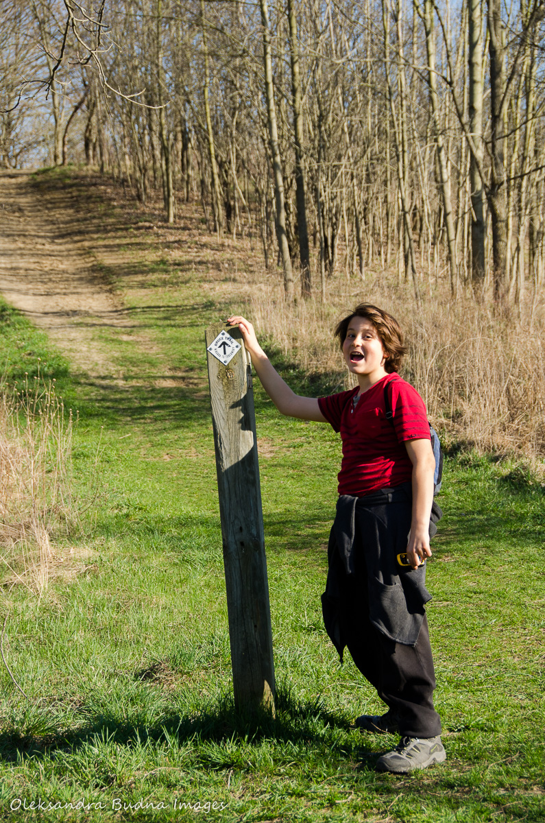
The railway track was where we found our first geocache. Because, of course, that was why we chose Dundas Valley in the first place – its abundance of geocaches. Our final score on the first visit was 15, on the second one we came at ten, and we are not anywhere near done.

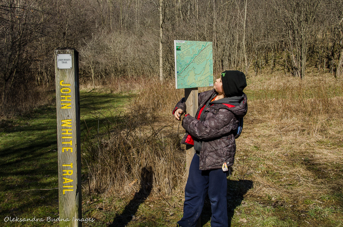
The most interesting part about the geocaches at Dundas Valley is that in addition to stand-alone ones, there are whole groups connected to each other. For instance, one of the groups was all about Canadian prime ministers. Each of the caches, named after one of the prime ministers, had a number. Once put together, those numbers were supposed to give us coordinates for the current Prime Minister, Justin Trudeau, his predecessor Stephen Harper, and Canada’s Governor General David Johnston. On our first visit, we covered parts of the Rail Trail, Spring Creek Trail, John White Trail and a section of Sawmill Trail, searched fallen trunks and climbed trees, and by the end of the day managed to locate 14 out of sixteen “prime-ministers.”


We also came across lots of mud, still frozen ponds and the first signs of spring.

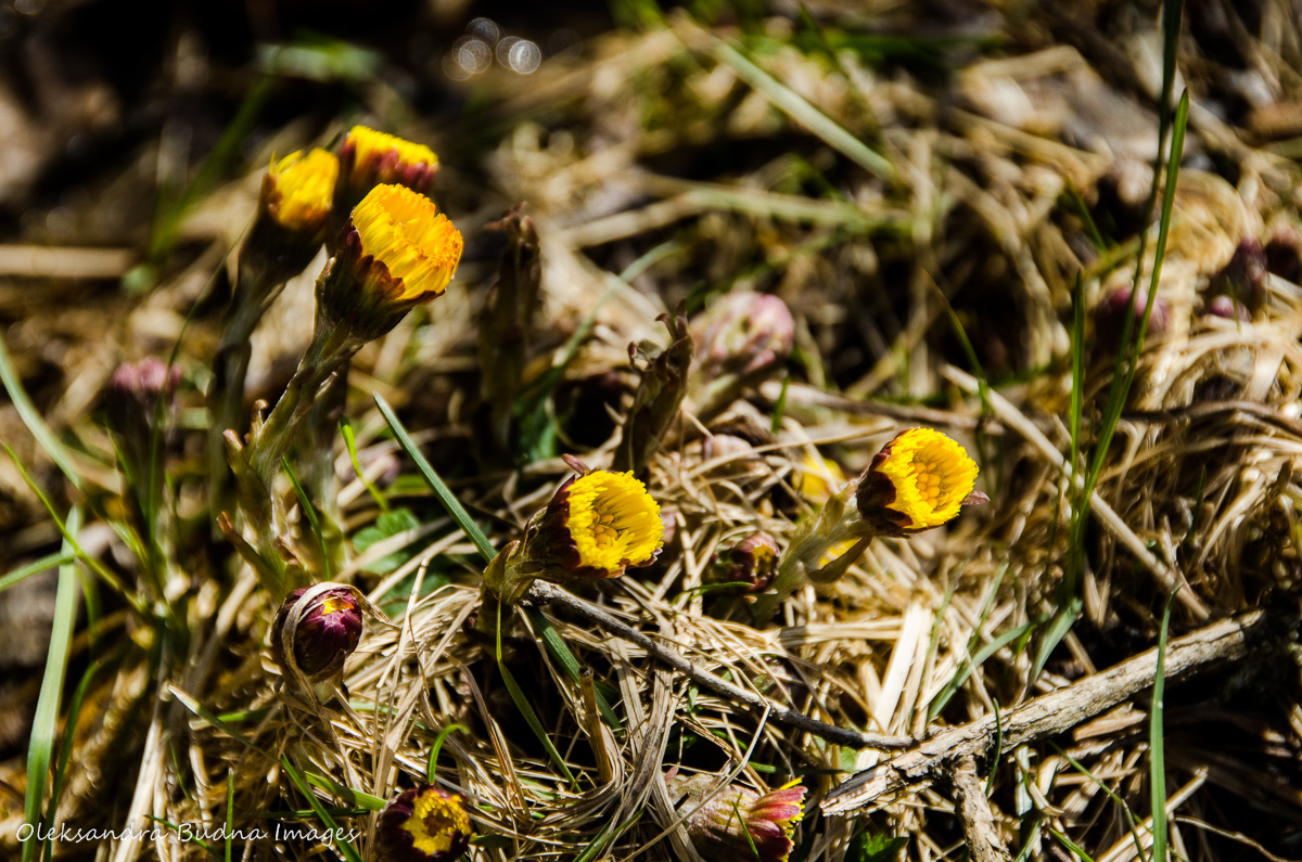
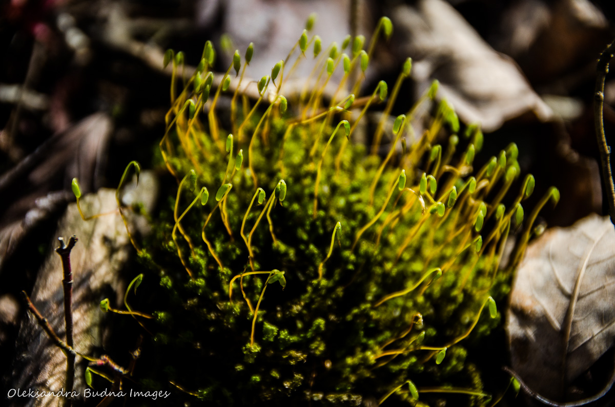
By the time we came back two weeks later, spring managed to get a stronger foothold in the forest.


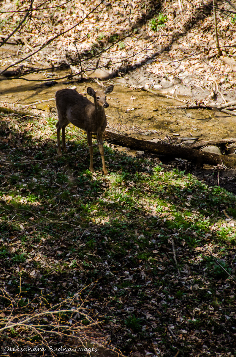
We found the remaining “prime-ministers” along the Spring Creek Trail, as well as four deer grazing down below. (How many can you find in the pictures below?)

Now that we had all the numbers for the Harper and Trudeau coordinates, we decided to hike all the way up McCormack Trail in search of “Stephen Harper” discussing his disastrous policy decisions along the way.
Part of McCormack Trail runs along Bruce, crosses the road and then passes a couple of farms, smelling of manure, one of my favourite smells in the world and I am not being sarcastic here. It reminds me of my grandparents’ village and my childhood summers.


I should have known that “Harper” would present lots of problems. After roaming through grass, we found nothing but a couple of ticks on my pants, almost too perfect of a metaphor. Also a good reminder to check for ticks after spending time in the woods and in the fields. The views along the trail made up for the disappointment. Rolling hills, forests as far as the eye could see, and Dundas Peak in the distance with tiny people along the edge.


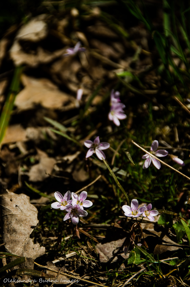
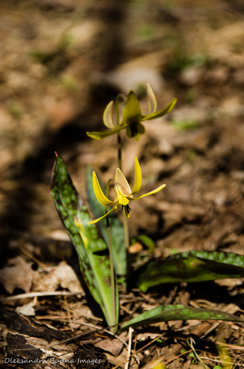
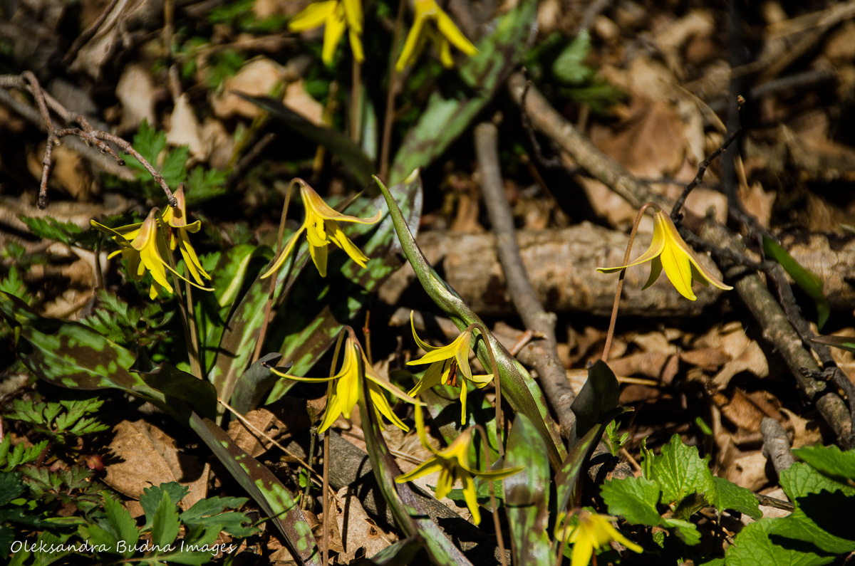
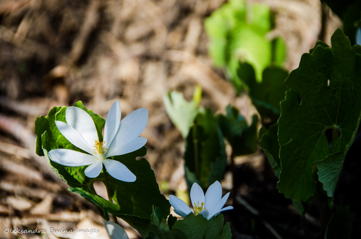
We also met a bunch of goldfinches and found lots of spring ephemerals.


Plus on the way there and back, we covered the rest of Sawmill Trail picking up more geocaches along the way, all part of the SLS group (SLS stands for Sawmill Loop Series). Another group called “Music in Nature,” which required hours of rigorous research into the history of rock’n’roll, still remains unfound along with Trudeau and company.


So, as I said, a lot more to discover. Hopefully, next time I will finally be able to get to the waterfalls and Hermitage Ruins.

What a great place to have near at hand. I liked the triangle of politeness to other trail users.
LikeLiked by 1 person
Oh yeah, the trail etiquette! A good reminder to share the trail and be mindful of other people.
LikeLiked by 1 person
Beautiful place for a wander around. I enjoyed your photos.
LikeLiked by 1 person
Thank you! It is a beautiful place. So glad we’ve discovered it!
LikeLiked by 1 person
Pingback: Trail Tales: fall, friends and hiking at Dundas Valley | Gone Camping