In his book The Wild Places, Robert Macfarlane calls his friend Roger Deakin “an explorer of the undiscovered country of the nearby.” I really like the expression and feel it captures perfectly the mission behind our microadventures – to explore the often overlooked natural places close to home. I already mentioned Macfarlane’s book and his friend Roger in one of my posts a few months ago. That was at the beginning of our microadventures. Since then, we have visited a lot of beautiful places in and around Toronto, every week uncovering new natural wonders. By now, our Saturday hikes have become a well-established tradition, something to look forward to during the week.
Two Saturdays ago, our explorations of “the undiscovered country of the nearby” took us to Rockwood Conservation Area. It is part of the Grand River Conservation Authority, which runs under the motto of “Nature. Next door…” The tagline suits it perfectly since most of its parks are located in or around large metropolitan areas. For instance, Laurel Creek, another of the Grand River parks, is right in the city of Waterloo and can be easily accessed by public transit, on bike or on foot. It is our favourite nature destination whenever we come to visit our son who’s currently a student at the University of Waterloo.

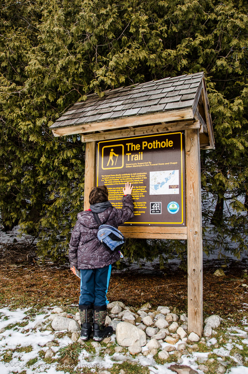
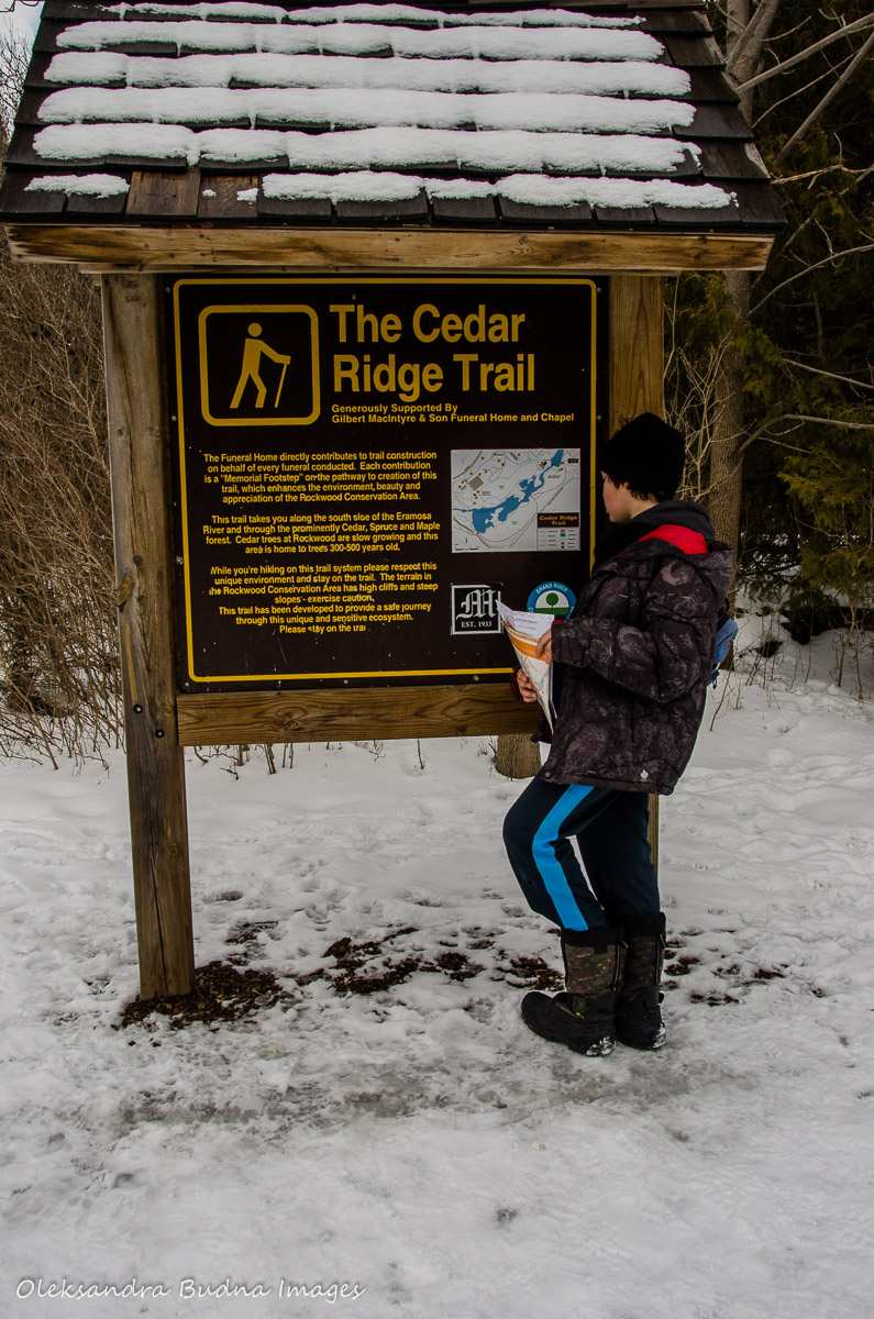
Rockwood, which is the subject of this post, is located minutes away from Guelph and has a GO bus stop right outside its entrance. The park isn’t very big but is packed with natural treasures and historical features. It has two hiking trails running on both sides of the Eramosa River. Hard as we tried, we couldn’t find any information on the length of those trails. But I can tell you that it took us under three hours to cover them both and that included time to explore caves and crevices, enjoy the views, take pictures and search for geocaches. At one point we veered off the trail in search of geocaches and then had to retrace our steps. Plus some sections were quite slippery so I am sure hiking times are much shorter in the summer.


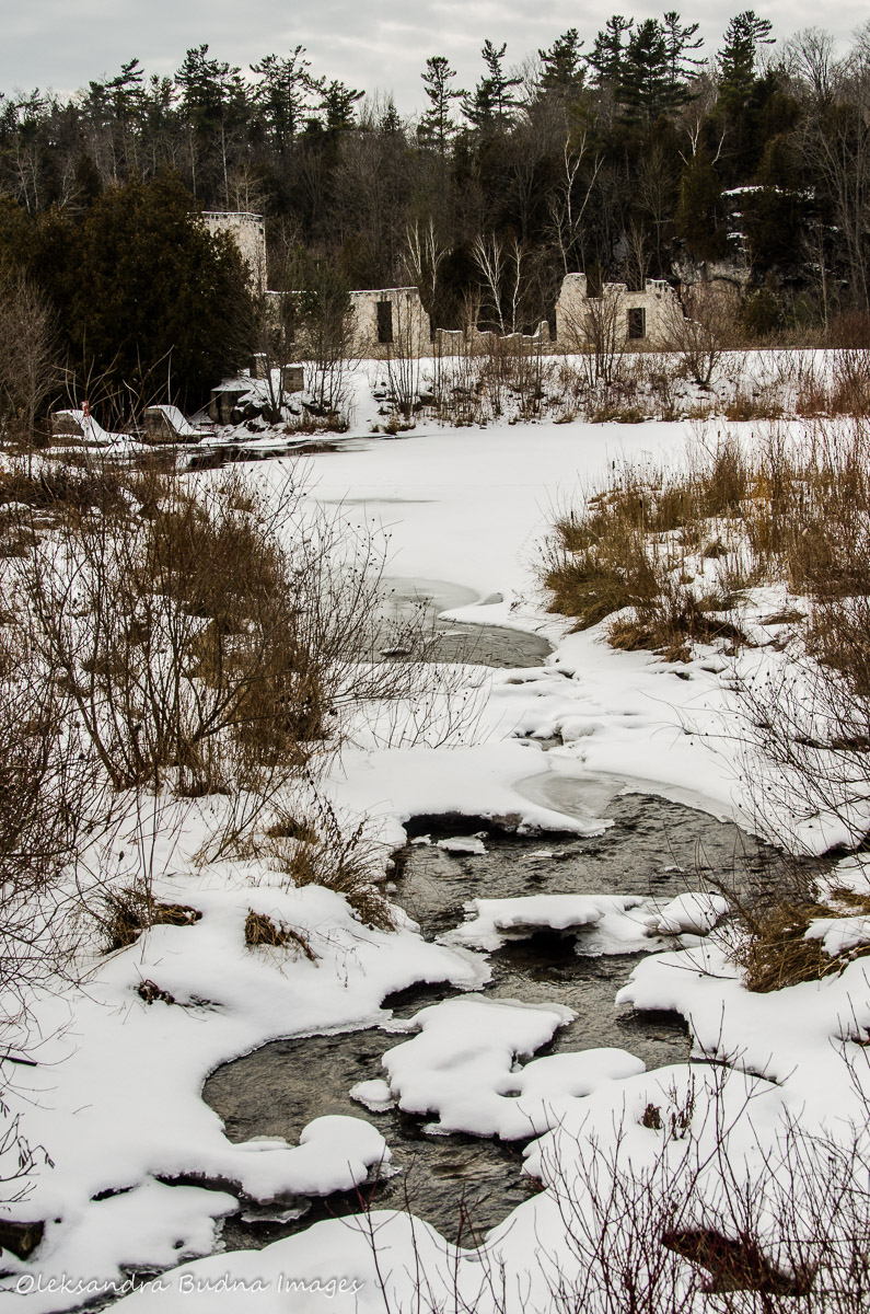
We started our explorations at the ruins of what used to be woolen mills. The Harris Mill Ruins are very picturesque and provide a backdrop for many engagement and wedding photo shoots. After taking a few pictures of our own, we set out on a hike.


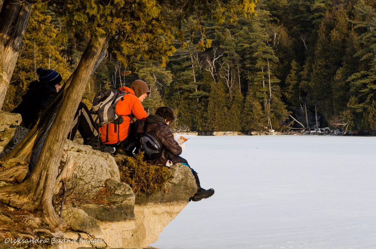
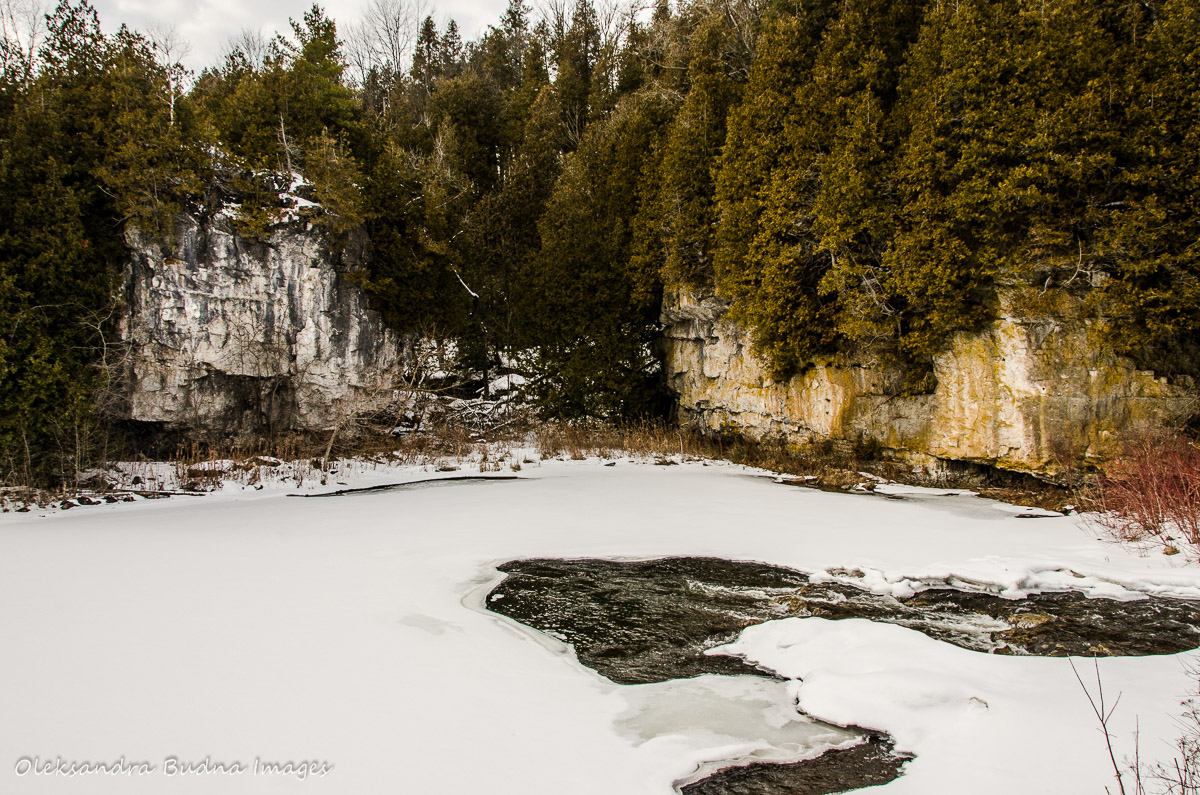
In addition to the mill ruins, Rockwood has traces of much older history etched into its limestone cliffs. The cliffs tower on both sides of the Eramosa River and are great to explore in a canoe. With the river hidden under the ice cover, that wasn’t really an option.


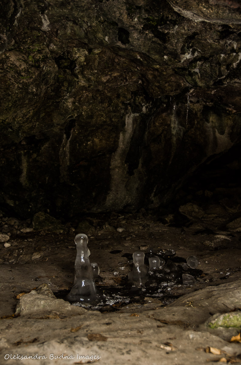
So we travelled on foot, studying crevices and caves along the way. Good thing we brought a flashlight with us and could poke around. In one of the caves, we discovered upside down icicles, which looked a bit like glass chess pawns.


Rockwood is home to over 200 potholes, including one of the world’s largest. As I already mentioned in my previous post, potholes were formed when stones got caught in a water swirl during the retreat of Wisconsin Glacier over 11,000 years ago. Some of the pothole walls have caved in by now leaving behind large semicircles.


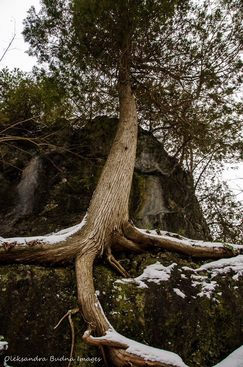
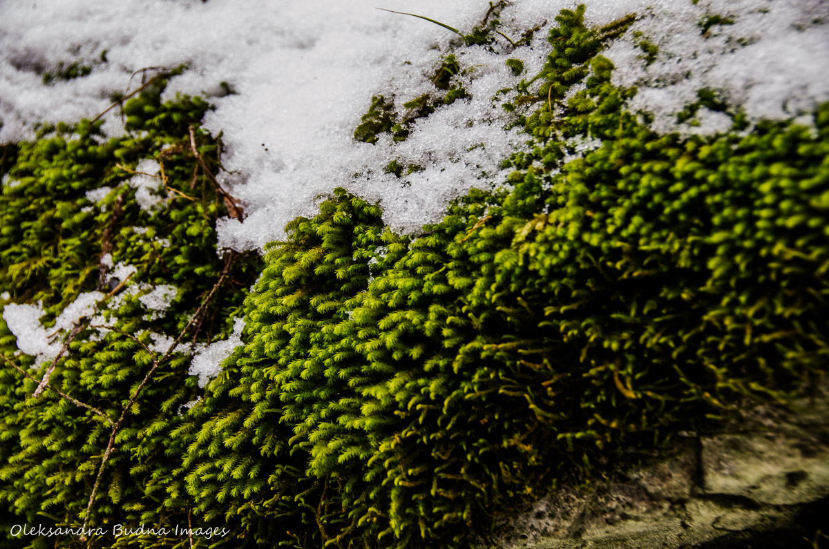
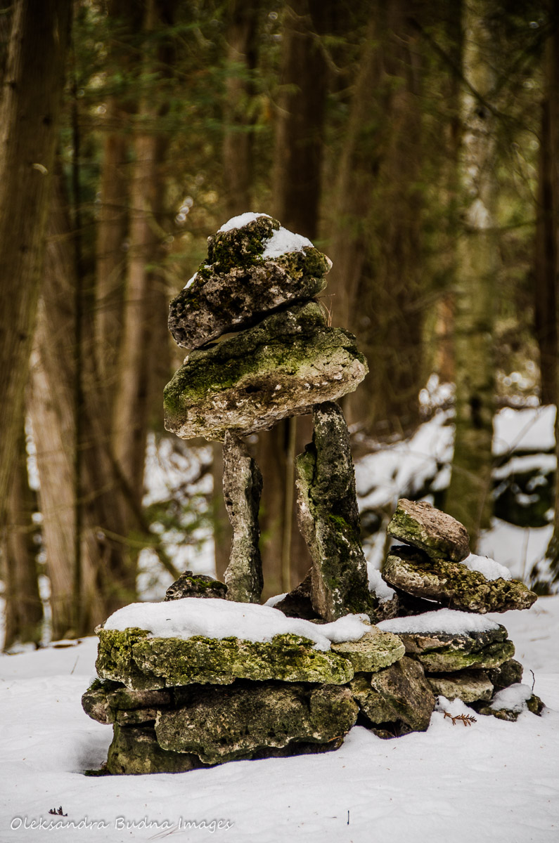
In addition to caves and potholes, there were beautiful views of frozen landscapes, dams and waterfalls, moss covered rocks and tenacious cedars, not to mention two geocaches, one of which required climbing 20 feet up a tree.


It was close to sunset when we left the park. On our way back, we watched the most impressive colour display in our rare view mirror. I couldn’t find a good vantage point to take a picture so it will be one of those moments I will preserve in my memory only.


Rockwood is one of my favourite places in Ontario. As a kid I camped there and I camped there recently in Oct. Nothing better then canoeing or swimming off to one of the islands on a sunny day.
LikeLiked by 1 person
It is very beautiful and so close to Toronto. I went there once before with my photography class. We will definitely go back when it gets warmer to do some canoeing and swimming. Plus there are a few geocaches we weren’t able to find 🙂
LikeLike
I can imagine that knowing you’ll be hiking every Saturday makes a working week much easier to cope with, especially when the scenery looks like this! The snowy landscape is gorgeous and how much fun those caves and other rocky features must be to explore. Another beautiful gallery! 🙂
LikeLiked by 1 person
Oh yes, looking forward to our Saturday hike helps a lot through the week. Plus it doesn’t require much planning unlike going away for a few nights. Although I am very excited about our trip to Allegany State Park this weekend. Nothing like sleeping in the woods, even if it’s a cabin, to recharge and relax. Hope to finally do some skiing. Thank you for reading and commenting!
LikeLiked by 1 person
Thank you for sharing this wonderful hike! I especially loved the upside-down ice sickles; they are amazing, like stalagmites. I have seen potholes in New York but, nothing nearly as large as those. I agree with you, that there are many great unfamous things to explore close to home. Love your photos.
LikeLiked by 1 person
Thank you, Dinata! Yes, those icicles looked pretty cool. And the potholes were some of the biggest we’ve ever seen as well, and so many of them too. We loved this park and will definitely go back when it gets warmer.
LikeLike
A geocache 20ft up a tree? It’s a young person’s game. A great place for a walk.
LikeLiked by 1 person
The tree had lots of branches and was easy to climb but yes, it was a bit high. Thank you for stopping by!
LikeLike
A pleasure as always.
LikeLike
Such spectacular beauty so close to home. I love the shots of the woolen mill in paritcular – so amazing!
LikeLike
Thank you, Meghan.Yes, we are lucky to have lots of beautiful places around.
LikeLiked by 1 person
Pingback: Geocaching at Rockwood: Adventure with a side of science | Gone Camping